Cover the whole field, with a wind window that works.
NDVI passes, crop scouting, utility-scale solar inspections, large-area work where the battery math and the wind window decide whether it's one flight or four. RangeSight lays the per-pack coverage and the swap points out before you launch.
Free Range Analysis Map · No account to start · iOS & Android
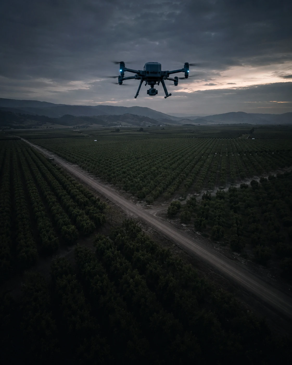
Big sites eat batteries, and wind quietly eats coverage.
The spec-sheet flight time doesn't know about your sensor, your wind, or the age of that pack.
Big sites eat batteries
A quarter-section or a utility-scale array doesn't fit one pack, and you don't want to discover that at 70% over the far corner.
Wind shrinks coverage
A 15 km/h breeze quietly costs you a swath or two. Ignore it and you're flying back for the strip you missed.
Re-flights cost a window
Agronomy and inspection windows are short. A wasted morning is a wasted window, and sometimes a wasted trip.
See the coverage before you launch, sensor weight included.
RangeSight models the things that actually shrink a survey: the payload, the wind, the aging pack.
Check the survey, leg by leg
Import (or build) your survey grid, set the drone, the payload (that multispectral rig is heavier than you think), the altitude and the wind, and the Mission Analysis Map Pro walks every pass: which legs are clear, which run the return-home margin thin, where it goes red. The free Range Analysis check shows what one pack reaches, too.
Plan the swap points
Knowing the per-pack reach, you place the battery-change locations on the map instead of improvising them when the warning beeps.
Time it to the wind
Pull live conditions and pick the window where the envelope's big enough to finish, or split the job into sectors that each fit.
Plan → Predict → Fly → Repeat.
Per pack, per sector, same confidence each time.
Plan
Drone + the survey payload, current battery, your survey altitude, the field as launch point.
Analyse
Pull the wind; the Mission Analysis Map checks the grid leg by leg and flags where to swap.
Fly
Run the grid; swap where you planned to, not where you ran out.
Repeat
Next pack, next sector, the math's already done.
The free tier sizes up a launch point. For survey work, Pro is the one to have.
All 31 drone profiles and the Range Analysis Map are free. For surveys, Pro earns its keep: the leg-by-leg Mission Analysis Map (RangeIQ+), payload weight support (for the sensor), the Custom Drone Builder (for survey-spec aircraft), one-tap live weather and offline map packs for fields with no signal, the 14-day free trial, then $12.99/mo or $99/yr.
More ways pilots fly RangeSight
Real estate & property
One trip, every angle, know the shoot fits the battery and the weather before you drive out.
ExploreMapping & survey
Plan the grid around the battery, not the other way round. Import .csv, .wpml, .gpx and .kml.
ExplorePublic safety & SAR
Maximize the search area while keeping a return-home reserve in the math.
ExploreHobbyists & explorers
Explore new spots without the white-knuckle return. Free, no account.
ExploreTake off with the numbers, not a guess.
RangeSight is on iOS and Android, with a free Range Analysis Map and a 14-day Pro trial. Pick your drone, set your conditions, know your envelope.