
A quick preflight check for property flights.
Listing shoots, exterior packages, commercial-property surveys, tight client windows and marginal weather are the job. For an unfamiliar launch point or changing conditions, the free Range Analysis Map gives you a quick modeled range envelope before you load the car. For longer planned routes across larger properties or campuses, RangeSight Pro can analyze the route leg by leg.
Free Range Analysis Map · No account to start · iOS & Android
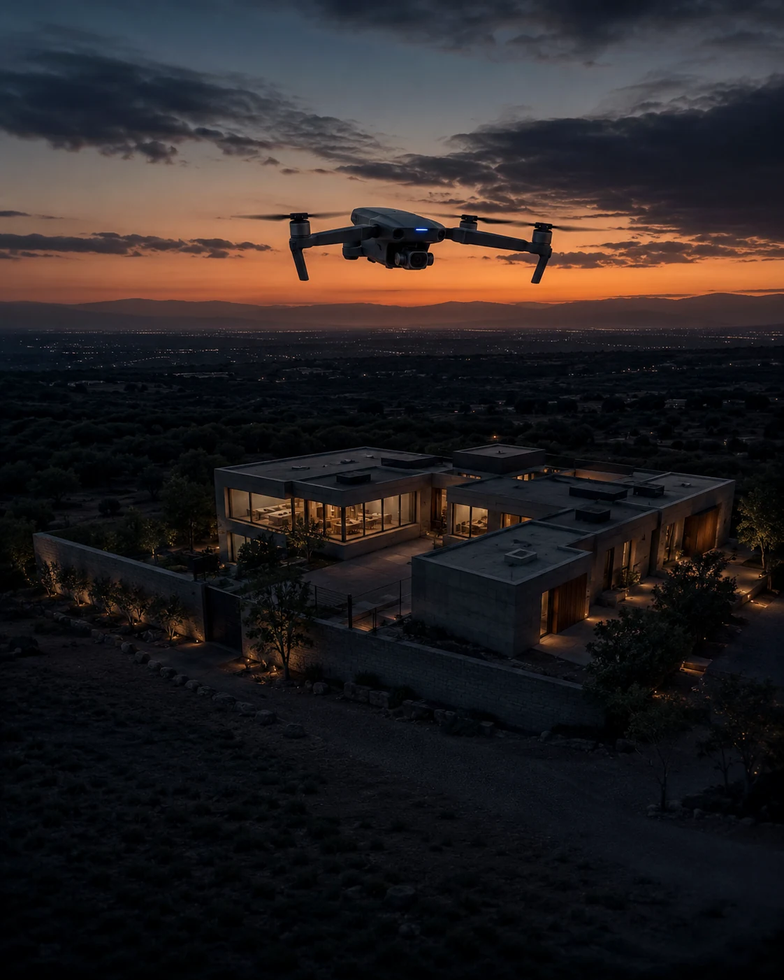
The weather window is small and the day is full.
None of these are dramatic. They're just the quiet ways a property day goes sideways.
The window is tiny
Golden hour, a front rolling in, and a client expecting deliverables. You get one shot at the light.
Multi-property days add up
Three listings, a stack of batteries, a 20-minute drive between each, and conditions that can shift address to address.
A missed angle means a return visit
A missed elevation or a clipped orbit can mean another visit, another fee conversation, another half-day.
Check the range envelope before you're standing in the driveway.
Same workflow you already use. One thing changes: the modeled range is on screen before you commit.
See the modeled range envelope
Set the drone, the battery level, the orbit altitude and the wind, and the Range Analysis Map draws how far you can fly from the property and still get back, so you can review the envelope before you start. Got a set route across a campus or several buildings? Import it and the Mission Analysis Map Pro evaluates it leg by leg.
Review the multi-property day
A quick check per address shows which jobs are comfortable on the pack you have, so you can sequence the day instead of improvising it.
Account for the wind
Pull live conditions at the property and review the envelope, stretched downwind, pulled in upwind, instead of a flat circle that ignores the breeze.
Plan → Predict → Fly → Deliver.
About a minute at the property, before the props spin.
Plan
Drone profile, current battery, the orbit/altitude you'll shoot, the property as your launch point.
Predict
Pull live weather; RangeSight draws the modeled range envelope around the property and shows the return-home margin.
Fly
Shoot the package with the margin visible, no glancing at the battery wondering if you'll finish the orbit.
Deliver
Files to the client from the same visit.
The quick range check is free. The leg-by-leg shoot plan comes with Pro.
The Range Analysis Map and all 31 drone profiles are free, enough to size up a launch point. Pro adds the leg-by-leg Mission Analysis Map (RangeIQ+), one-tap live weather (handy when a front's moving in), the Custom Drone Builder, payload weight support, and offline maps for rural listings. It's a 14-day free trial, then $12.99/mo or $99/yr.
More ways pilots fly RangeSight
Agriculture & solar
Evaluate expected margin across long, repetitive survey and inspection routes.
ExploreMapping & survey
Analyze long grids and corridor routes leg by leg, with expected battery, return margin, and the constraining route output visible before launch.
ExplorePublic safety & SAR
Mission-performance context for time-sensitive UAS planning, with expected margin visible for review.
ExploreHobbyists & explorers
A quick modeled range-envelope check for unfamiliar flying locations. Free, no account.
ExploreSee how the mission performs before launch.
RangeSight is on iOS and Android, with a free Range Analysis Map and a 14-day Pro trial. Import the route, set the aircraft and mission conditions, and review expected performance leg by leg before you fly.